Bike travels within Quebec -Ballades en velo au Québec
Extra
Bike travels within Quebec -Ballades en velo au Québec Extra |
|||||
|
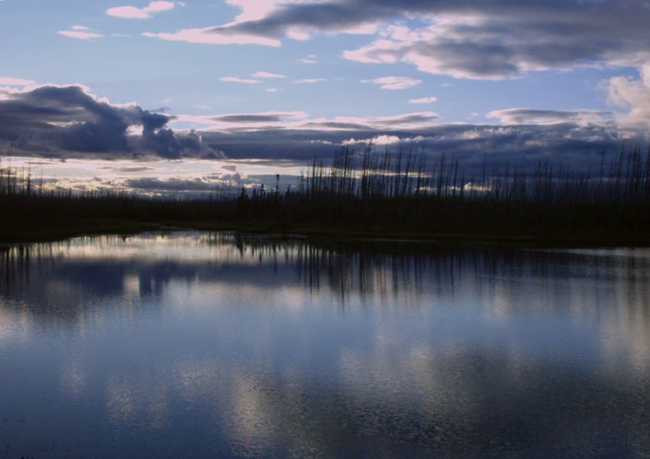
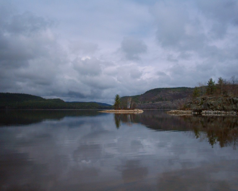
Once describing the breathtaking scenery la Belle Povince has to offer I'm of the opinion that despite the occasional formal
lack of interest from some of our neighbours which each lay claim to delightful scenery of their own, there are some very
tantalising places to uncover most of which aren't burdened by the excessive publicity and attendance taking away some of
their appeal which the tourist trap may creat. Actually once considering what appeals to the masses , it is apparent that
apart from the beauty of pristine environements with stark contrasts, a well preserved historical heritage with a vibrant
culture a witness of this is essential since the tourists didn't come here to see their own back yards...
Once travelling on the route verte network of
trails which each lead to noteworthy sites nothing prevents the cyclist in search of more daring adventures to actually go
beyond what the immediate vicinity of the trails offer . Actually it is expected that most people will try their luck getting
a first hand view of noteworthy stops that are normally sufficiently far from the trail to make them an excursion of their
own.
Despite the well known attractions in the immediate
vicinity of the advertised bike paths, it is noteworthy to mention that for the additional effort there is of going beyond
the trails the rewards often are worth the ticket in the sense that for those in search of scenery and a touch of history
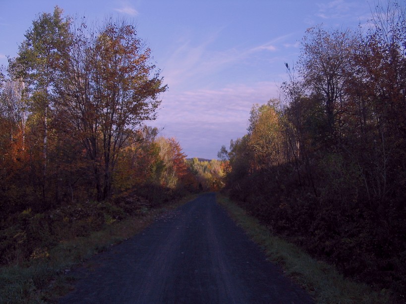
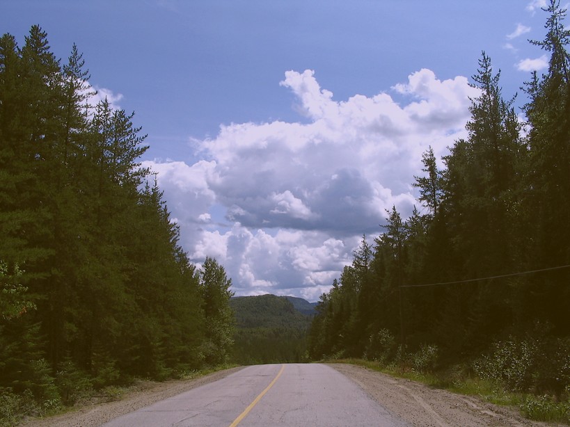
some small country roads can become a rewarding experience. Sometimes just going beyond the monotony of mindless travel can
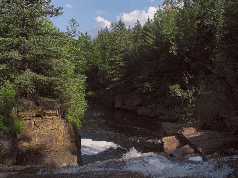
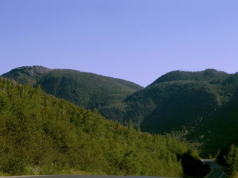
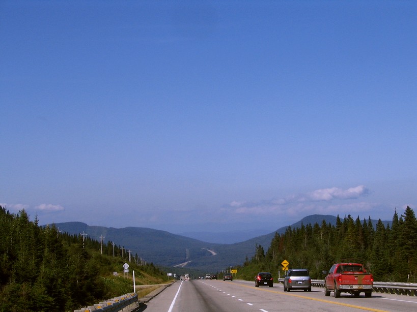
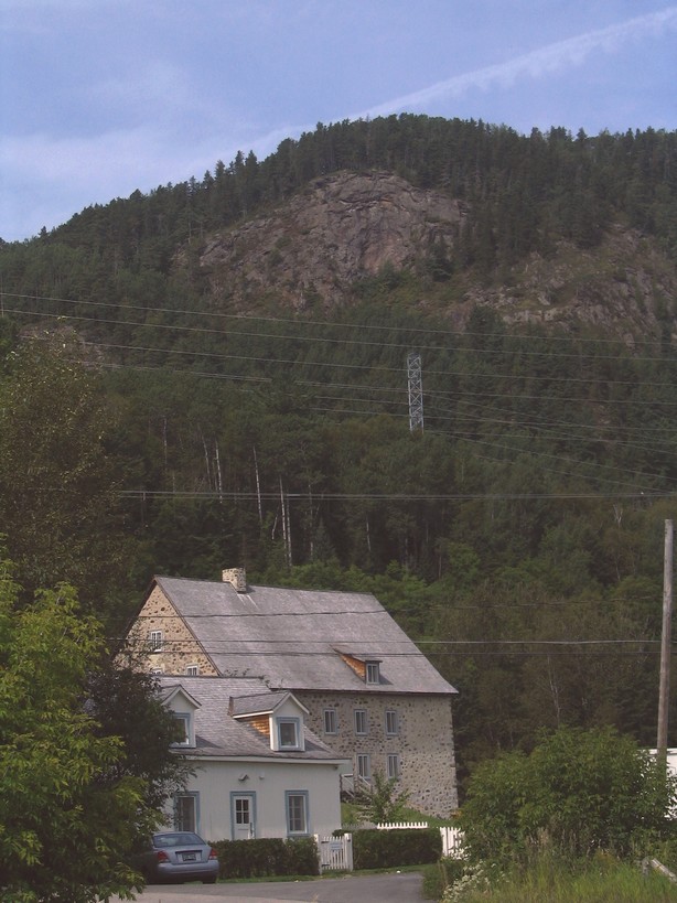
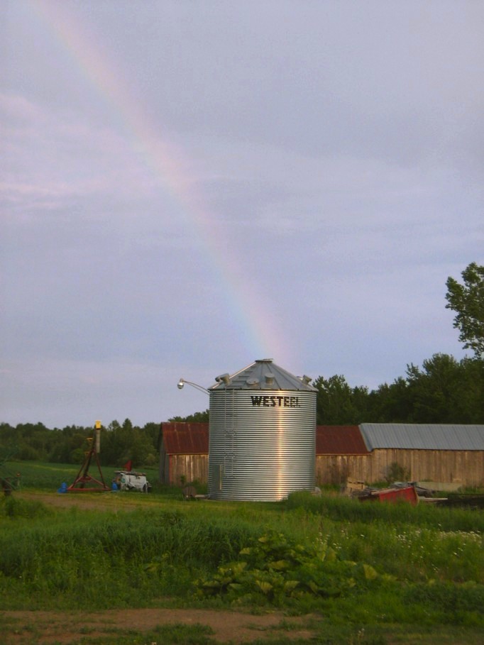
lead to some surprises along the bike path. As recently as this summer an uneventful escapade along the # 2 bike path of the
route verte network became a thrilling moment of discovery when trying to view up close a rushing stream to be heard at some
distance below the path which was visually discovered following an uncertain path towards it. After following the stream for
some distance further south, I stumbled upon a most unexpected mountainous scenery which considering it's proximity to the
trail was totally unforeseen. The place in question is immediately north of the large rock cut to encounter some distance
south of Val David.
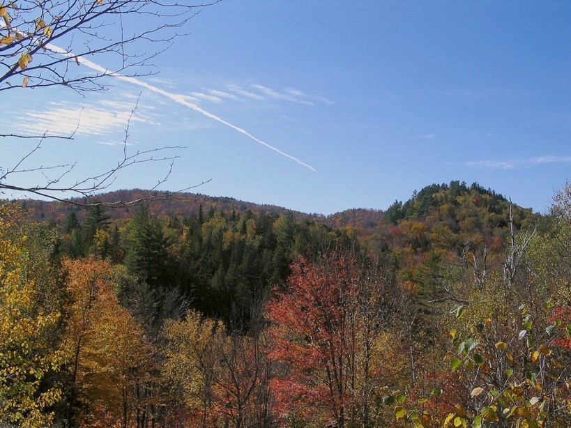
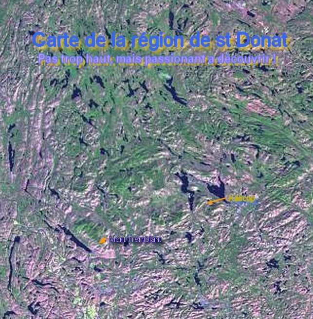
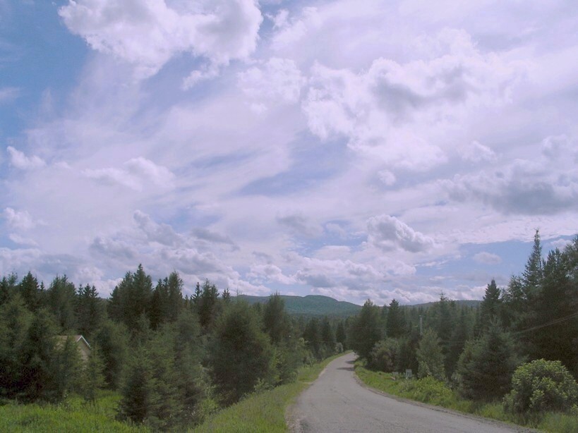
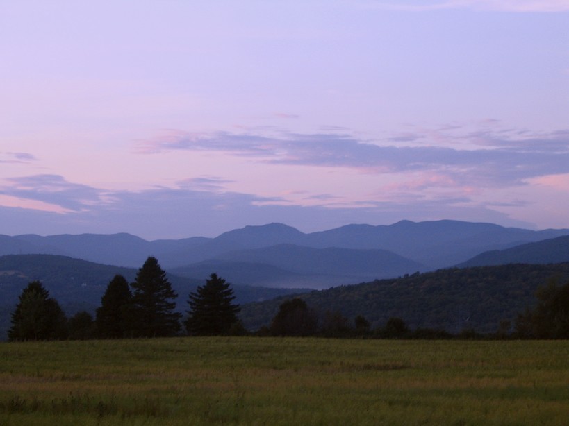
On that occasion my stated goal was to visit the mountainous scenery to uncover north of St Donat attainable by a bike
path from St Agathe. Being burdened by luggage I was forced to abandon the bumpy trail early on. Although once in immeduiiate
vicinity to St Donat a closer inspection of it showed that the path was of exceptional quality without any of the imperfections
to observe initially . The path in question seems to more closely parallel the hills that are to uncover at some distance
further south of the road which I initially pictured the autumn before not expecting such scenery considering the uneventful
topography to typically encounter in the region a reflection of the age of the Canadian shield .
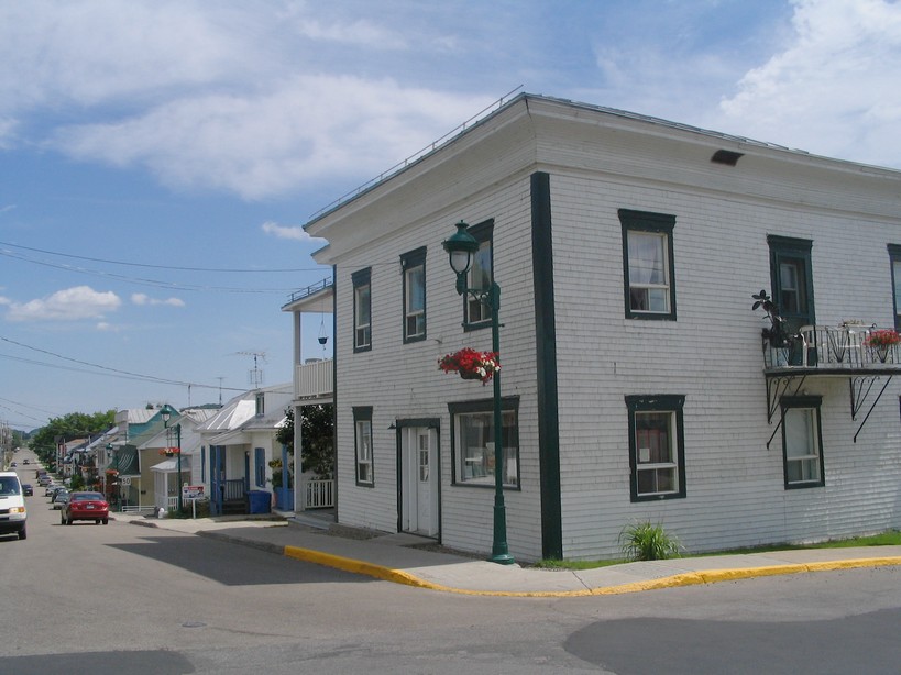
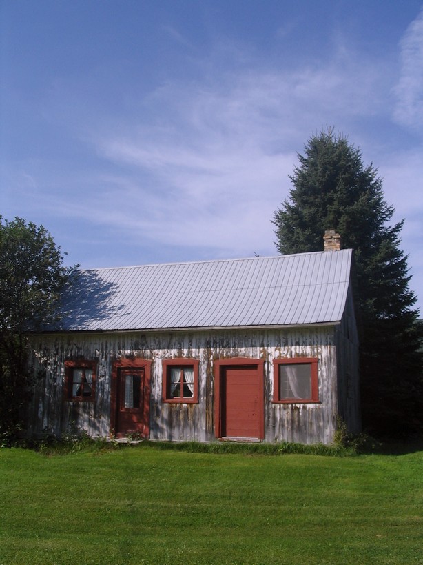
My arrival in St Donat was again the occasion for some superficial exploration with the hopes of uncovering some overlooked
surprise of another age with some architectural if not decorative appeal making it a good picture taking opportunity. Apart
for the same imagery of downtown, my catch of film limited itself to a charming residence with some appealing external decorative
assortment promoting country life.
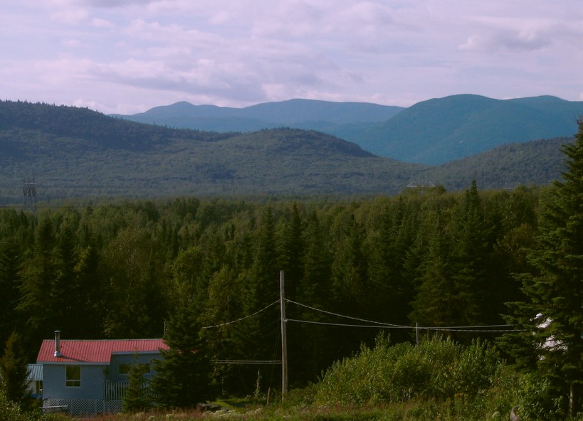
After my typical preparations I embarked on what I hoped would be a pleasent quest within the hills to encounter within
the "Mont Tremblant" provincial park which has some astounding scenery to uncover in relative vicinity to the mountain of
the same name . Actually the 60 some Km quest from the park entrance up towards St Michel des saints was somewhat of a deception
since I didn't find any impressive scenery apart from what I had by chance uncovered taking a look behind once escalating
a hillside on a gravel road that just was a little too narrow for comfort being in sufficiently close contact with the forest
to lead to much uneasiness in expectation of some wildlife suddenly lurching out to satisfy it's curiosity . Furthemore a
horde of flying beasts accompanied me for much of the treck leading to short episodes of spoken insanity by cursing anything
inimaginable.
While I could have turned back instead of doing
the additional number of Km's there are to St Michel des Saints, I took the risk of heading up there in order to get a better
idea of what the Canadian shield has to offer in terms of mountainous scenery. I also thought that a visit to places in the
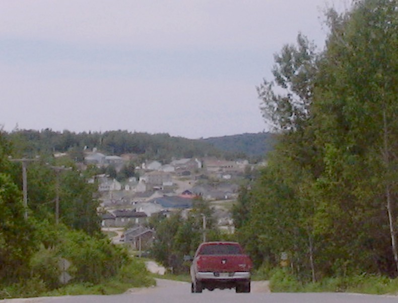
relative outback would give me a better perspective to judge the state of existence of the people. The town itself was somewhat of a surprise considering the limited population being at 1500 people . Actually I didn't
expect the unusual number of services offered from a host of restaurants to a thrift general merchandise store where I bought
an inexpensive tent to a relatively large outlet of the Provigo food store chain without mention of the hardware store of
the Rona chain. The occasion was perfect to contemplate what the future held in terms of possibilities . I thus stocked up
on some food and opted for a further investigation of the outback by taking the road which goes up to the native reserve of
Manouane which is in immediate vicinity to lake Kempt...
The road to the reserve first starts off perfectly being on asphalt for a small number of Km's but rapidly turns into hell
once the gravel sets in. The heavy luggage was cause for many problems trying to come to grips with a road that was not only
bumpy but had extreme lateral angles in the curves which is great for high speed motorists but just caused me to lose my balance.
Furthermore once the road was level the only place with a solid surface was the center which is great to use if there isn't
anyone on the road. Unfortunately the road often looked more like a freeway which made it a high risk adventure.Despite the
obvious, I would take the risk of riding right in the middle on level ground to precipitously seek the bumps..and ultimately
the roadside quicksand at the arrive of a vehicule.
The arrival in town was uneventful in the sense that there wasn't anything extraordinairy to uncover which would be the
cause of much speculation giving pretext for conversation. Although I did stop at the food store to stock up on more food
which became the perfect occasion to talk to some the locals which in my opinon seem to be the friendliest group of people
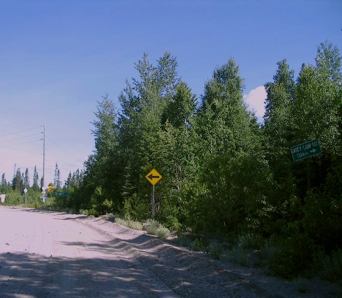
you can encounter. Subsequently I did take time to ask for directions to go further north from people which didn't seem native.
Obviously this lead to some misinterpretation in the sense that trusting non locals for directions amounts to trusting tourists
to give you advice. I thus ended up taking the advice of this nice polite fellow which deposited me at Km 66 indicating that
the road to the little Hamlet of Parent followed such a course (which wasn't false in theory ). Actually the remnants of a
sign giving indications to the sawmill in Parent lead to the understanding that the way was further up the main road despite
what common wisdom indicated. Irrespective of what the sign told I tried my luck on the road which by the lack of tire marks
clearly lead to the understanding that it was seldom used. I ultimately turned back a certain number of Km's ahead when it
became apparent that there wasn't any of the mandatory mainenance on the road once I stumbled onto a swamp...Irrespective
of the results, I was told that the road in question is an access road to the main road which is reached nmany km's further
north.This explains why I took the road despite the clear signs of disuse.
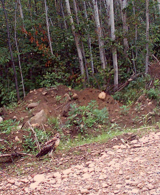
Once considering travels into the outback, I for one in being in the obligation to travel alone (with a means of transportation
which doesn't give me any security if ever chance encouter occured )has on occasion experienced potentially problematic encounters
such a as with bears with tend to express their curiosity more than anything else (my personal advice being the use of some
fraternising mooomooomooo like grunts which seems to ease the tensions if ever a critter stumbles onto you !) . What is definitely
more unsettling is what occurs at night within the darkness. Once a most unsettling bipedal creature was grabbing my leg from
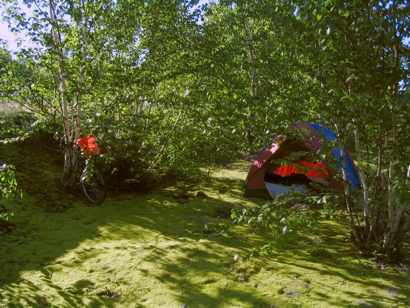
outside and seemed firmly intentioned on taking off with it...But most often the tent remains en excellent form of shelter
creating a psychological barrier that also effectively dissuades some more enterprising members of wildlife which in their
minds confuse a tent with a solid object like a rock. This is fine if they don't want to use the rock as a lookout point or
a place to rest !
As for the unknown ; by my personal experience, apart from the typical herbivorous folks, including the bears which tend
to mostly think like herbivores abeit occasionally belligerant ones, there is the occasional carnivore the wolves being the
most intriguing and potentially the most dangerous, occasionally ending up on semi deserted camp grounds to mingle with folks
which may take them for stray dogs. Very rarely you'll encounter a large feline critter which looks a little bigger than the
typical alley cat . Finally there are those very furry, tall and stocky bipedal folks which seem to be mostly guided by curiosity
but occasionally may seem out for a kill. At least that's my opinion of it. And if time flies by too fast for some reason
, just check around you...
I resumed my treck back to the warmer climes of
civilisation regretting that I couldn't do some more in depth investigation of the occasional hills to uncover a little further
north knowing that the relief maps indicated the presence of some topography in the vicinity of Parent. Actually there was
a greater sense of regret not being able to get to that snack bar in the middle of nowehere named Lu-Nic considering its actual
isolation being situated far from any town and the reality of a main gravel access road with isn't as often used as suspected.
Actually the descision to head back south lead to some pleasent discoveries along an asphalt road that had an embankment.
Furthermore I wasn't stranded in the middle of nowwhere with so many miles to go to get to the next town .
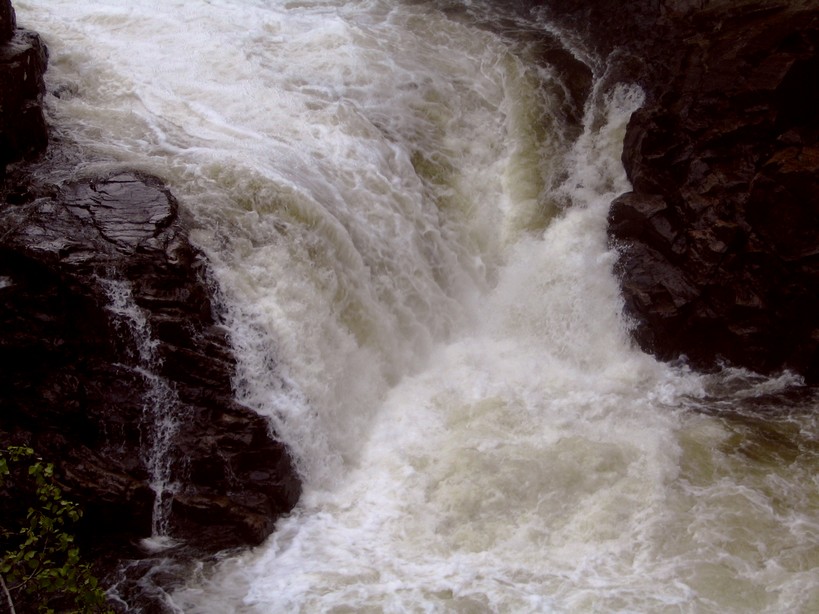
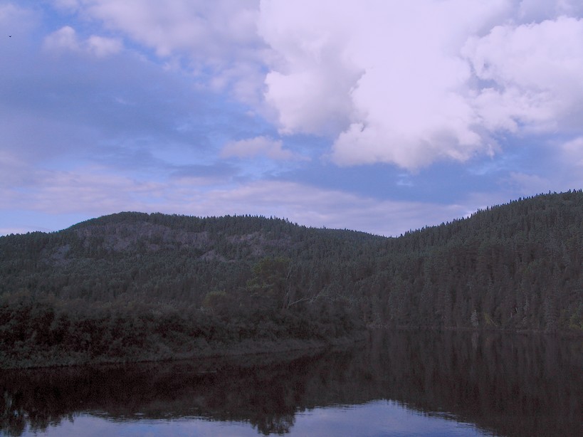
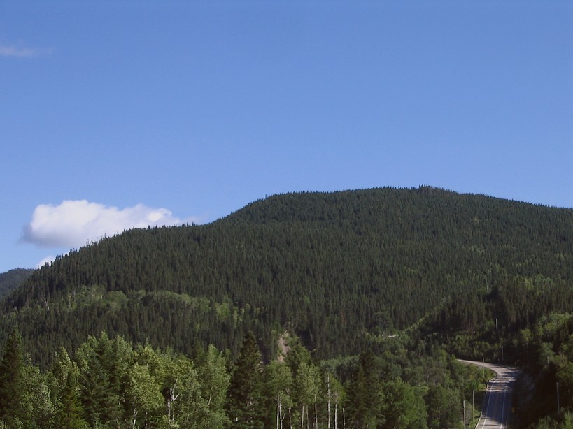
The most surprising aspect of it lies with the realisation that there are hills that occasionally makes the treck look
like a foray into the more acknowledged places within the Canadian shield . Thus once past St Zenon stumbing on the mountainous
scenery (that can be further investigated once hiking within the "Sept Chutes" nature park ) was like travelling where the
hills are known to be found like in better known places within the Laurentians. While the tantalising moments didn't last
long, I became tempted. I thus have to return at some point in the future to take a closer look at the immediate vicinity.
The towns to cross along such a path do have some
well preserved buildings which may be cause for a sense of retrospection if not nostalgia mostly if the building in question
hosts a hotel and/or a bar which can be further investigated to get a first hand look at the effort to assure a sense of preservation
enhanced by what may be some artful decorative wizardry. Mind you sometimes some unusually stark colours may be overwhelming
to the eyes !
St Jean de Matha for its part held some interesting surprises of it's own in the old city center which was cause for more
in depth siteseeing.
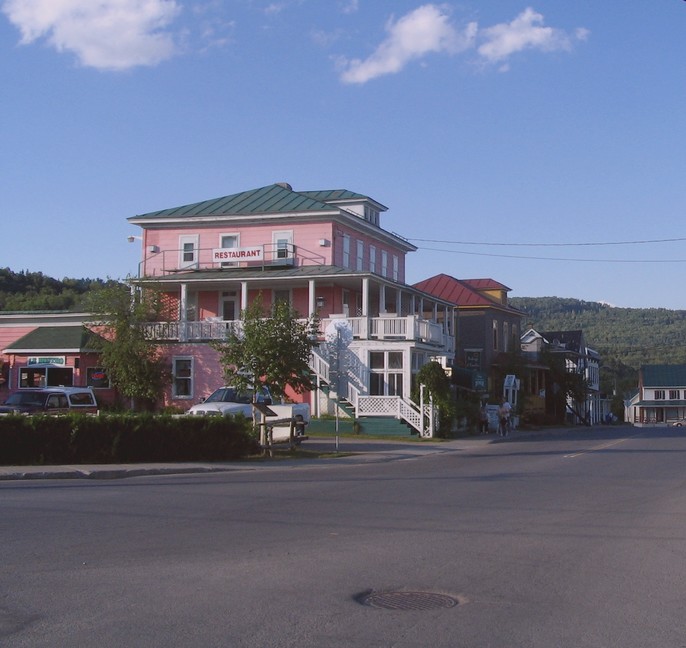
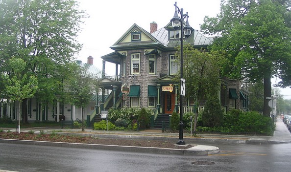
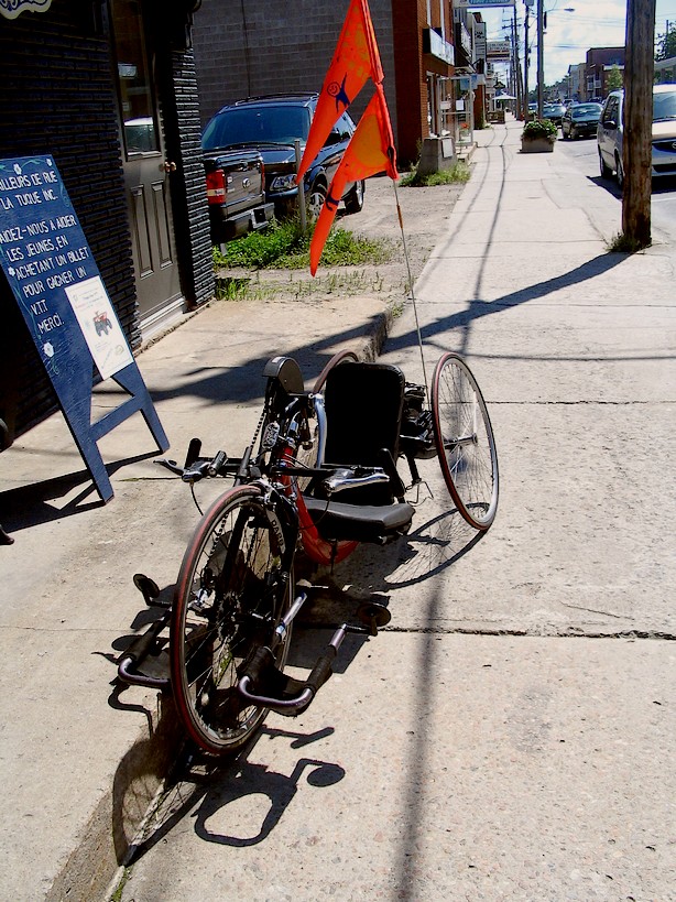
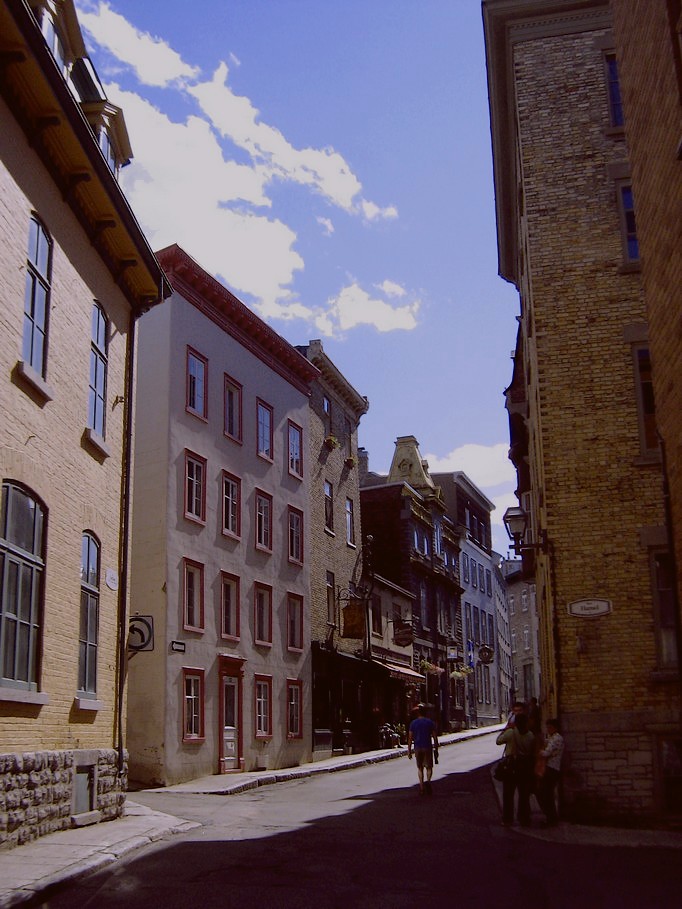
Despite the little treasures which such small towns hold the greatest surprise to uncover remained
Joliette which is a relatively large urban center with a relatively well preserved urban core . Once returning home I briefly
passed through and took this image of a business implanted in one of their old mansions. Once in Joliette I stopped by the train station with the hopes of being able to hitch a ride to the city (Montreal) . I
thus boarded the train with bike (which doubled the cost) and headed home . I only stayed in Montreal for a small number of days to give me time to plan my next excursion again in search of mountainous
scenery to picture. I initially set my goals on what I judged as being mountainous scenery to uncover in immediate vicinity
to the small hamlet of Linton (which is only occupied in summer) situated north of the town of Riviere a Pierre. Actually
I chose the area after superficially investigating some Google map images. I thus embarked on a quest which in part had me
pass through familiar surroundings north of the St Lawrence river . I then followed the Batiscan river with the goal of attaining
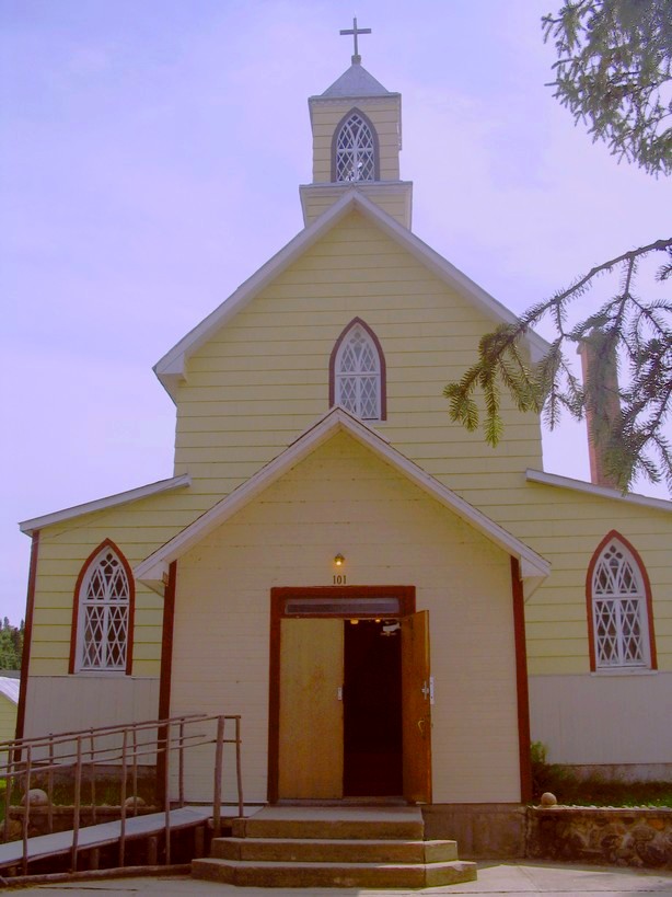
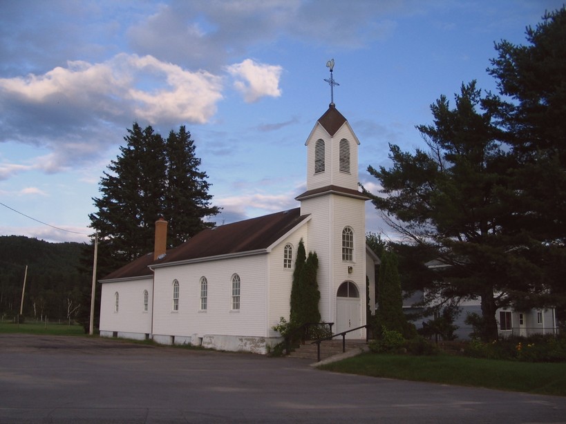
Riviere a Pierre by going through lesser known towns. The immediate area is typical of the St Lawrence river valley with some
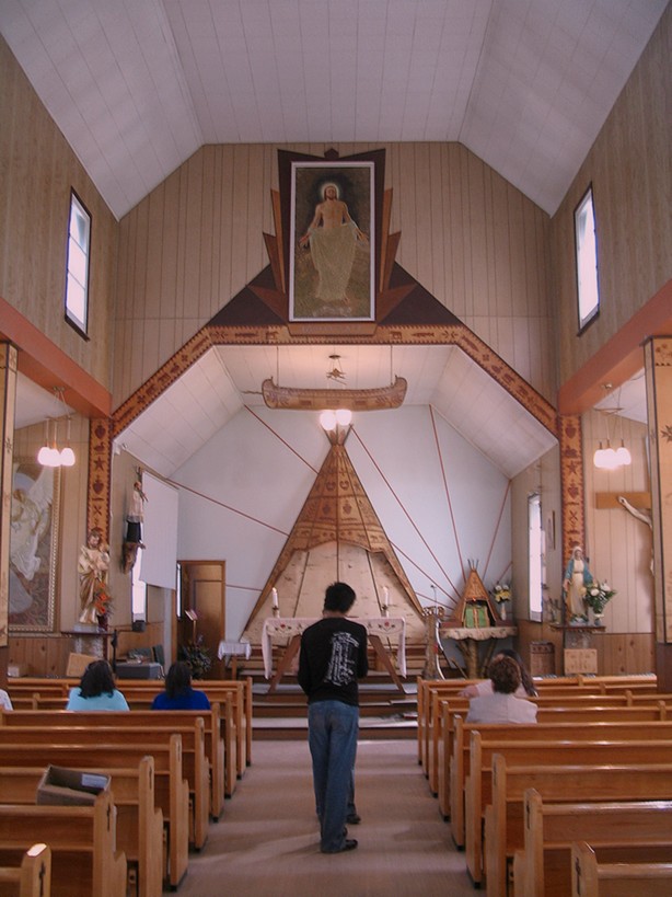
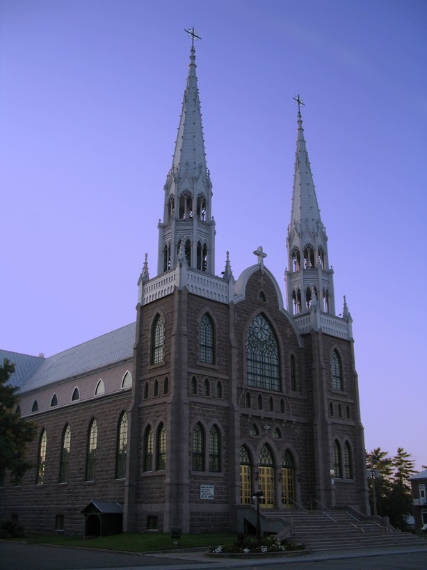
rolling hills to further enhance the experience.Once in a town, the town center most often hosts a 19th century church in
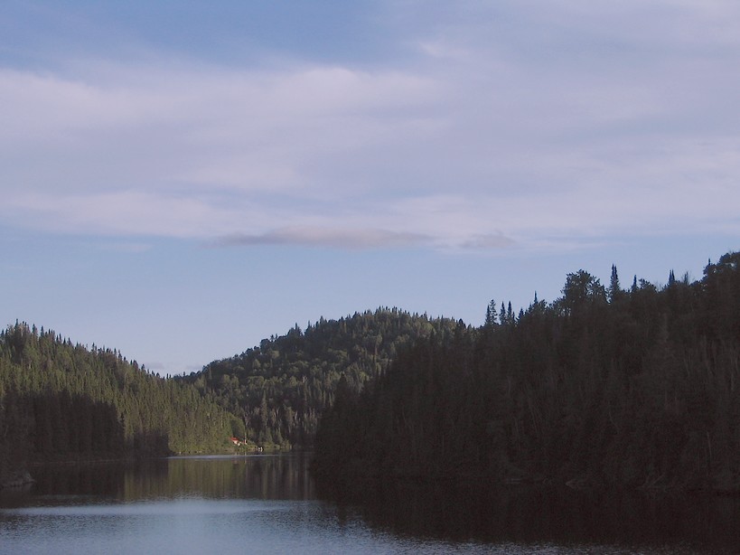
an excellent state of preservation most often in the immediate vicinity of dwellings of a related age ... Upon closer investigation, after almost attaining my goal taking the decision to turn back at "Lac
aux sables", I decided to continue my quest by the St Maurice river valley which to be honest wasn't like really turning back
even if it had the sound of it since I intended on attaining the hills by the small hamlet of "Lac Edouard" . Furthermore
the scenery is delightful. This time I had part of the road done and thus avoided going through some of the towns to encounter
such as Shawinigan which in the past was witness to much industrial development which made the place look a little like Montreal
if ever you dare take the time to look at some of the old triplexes if by chance you end up in the right neighbourhood.
Link to the Google map image of the area (the hills)
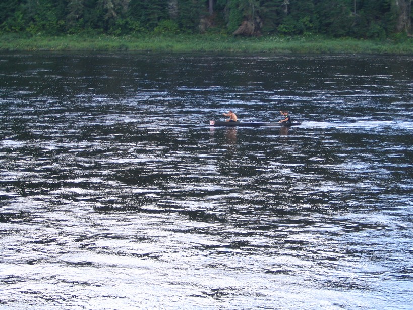
The St Maurice river at one point in the past was the major passage assuring economic development
or the region which depended on the production of timber from outlying areas which was sent for processing further south by
floating the logs on the river.The river was also one of the first rivers dammed for it's hydo-electric potential which also
helped assure greater industrial development of the region before electricity became a common word . Today the river is a
playground for folks that not only can take to the beach (such as at St Quentin island bordering the St Lawrence in "Trois
Rivieres") but also can go down it's length by canoe.
Once travelling along the river the only major urban center to uncover north of Shawinigan before attaining the "Lac St
Jean" region is Latuque the birthplace of well known writer-artist Felix Leclerc. The town also is a delight to visit with
it's host of services to assure that you never feel stranded. In other words the perfect occasion to make some friends ! I
personally met a guy who despite being handicapped (he is missing a leg) routinely travels by bike to Montreal and the "Lac
St Jean" region on a adapted 3 wheel bike using his arms to advance. Despite what sceptics may claim, this man flies like
an olympian and could probably qualify for a world record despite being past his 40's and..missing a leg.
I rested in town for a number of days trying my luck at blueberry picking which implied going 10 miles
past a town further north named "La croche" in search of those small berries which bring in a fortune to those lucky enough
to uncover a treasure trove of them in some woodland clearing. Since I don't tend to be lucky and since I don't have the proper
means of transporation I chose to pick on the premise of a purchaser which was overseeing his pasture of prized berries. The
experience wasn't a deception despite arriving at the end of the season since I got a first hand look at what makes some people
go berry crazy while making some money in the process. Actually I made 12 $ for an hour's work despite the very paltry harvest
which was fetching less than half I would get if I were working my own secret pasture !
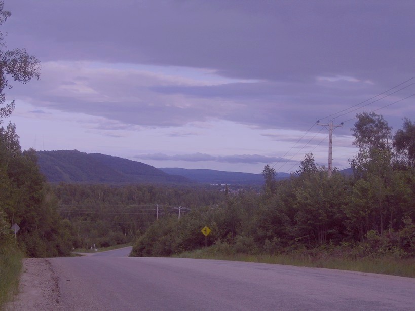
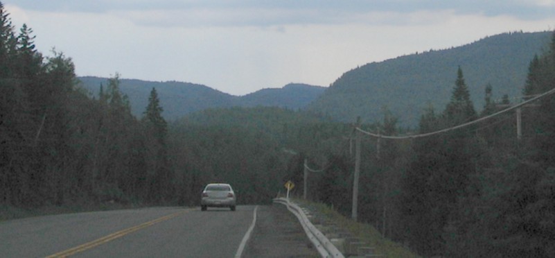
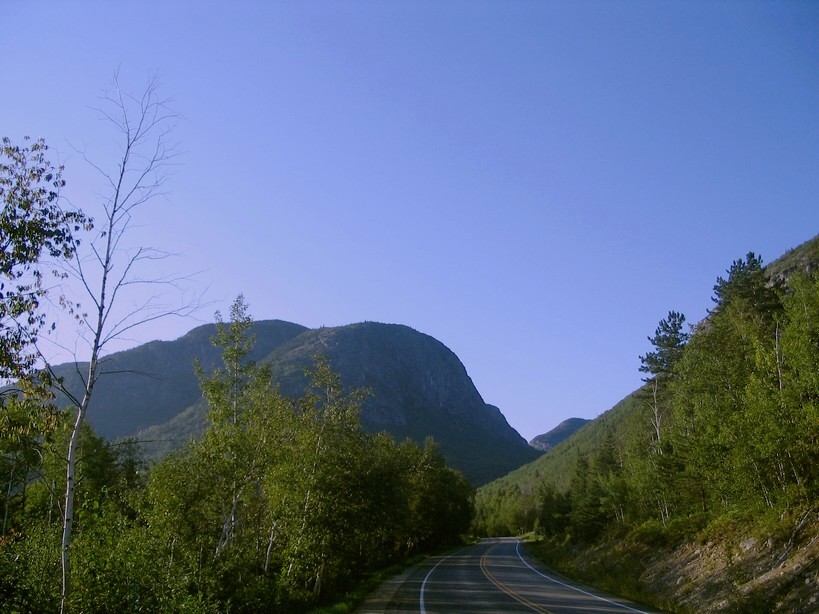
I departed some days later with regret actually contemplating moving to town. The treck along the road
going further north was somewhat more hazardous since there wasn't the embankment I was so accustomed to using which considering
the occasional heavy traffic was cause for some moments of anxiety. Although once on the access road leading to Lac Edouard
extended moments of isolation brought back my inner peace at a cost since I had challenging moments trying to climb the slope
to get there going from under 700 feet in altitude to more than 1400 feet within a couple of miles ! Despite what is expected
once climbing such a slope, there was't anything noteworthy to uncover in terms of scenery apart from the hill across the
main road.
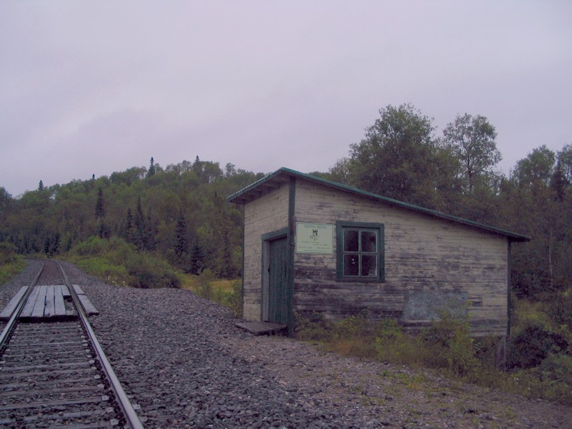
My arrival in lac Edouard was marked by another deception once it became apparent that there wasn't any access road to
get to where I wanted to go. Although I did take a chance on a narrow gravel road to get a glimpse of the Triton club which
is a place that was reknown soon after it's opening towards the end of the 19th century, the old pictures of well known figures
that line the walls of the inn bearing witness to this (Winston Churchill is rumoured as having gone fishing for a whole week
somewhere around here after the Quebec conference during WW2. The pictures of Roosevelt, without him, formally are from another
point in time ) . Despite knowing that the inn is fully isolated being inacessible by road, I expected to visually see it
from the other side of the lake ( which also isn't the case ). Once at the water's edge I decided to call it quits for the
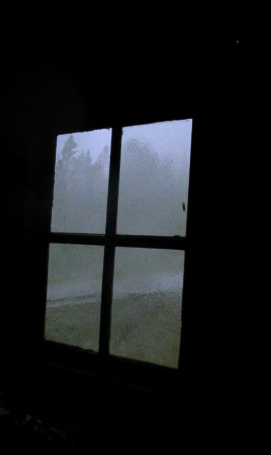
day seeking shelter in the old train stop after it became apparent that a thunder storm with heavy showers was imminent.
A heavy traffic of motor vehicules (adapted for rail use, the vehicules being for maintenance purposes
obviously) travelled on the rail line for most of the night . This was strangely enough reassuring since at one point within
the night something paid me a visit. it also left a large tree trunk on the trail which was uncoverd the next day.
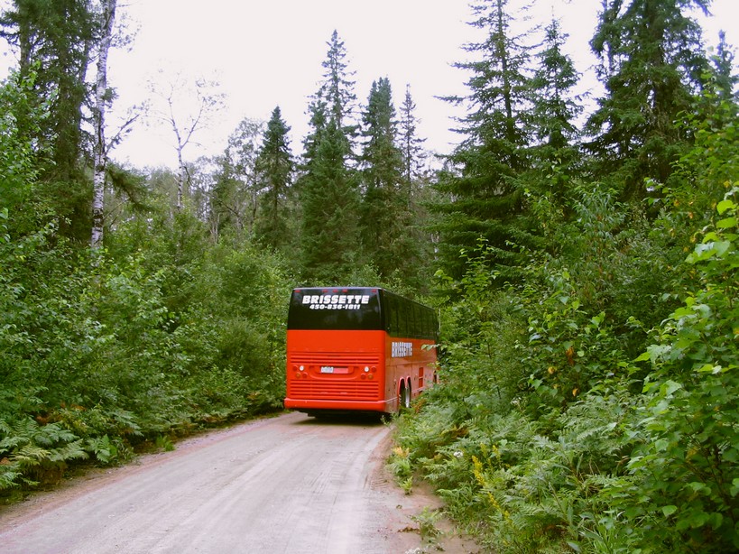
My departure early the next morning became a moment of laughter when upon arriving on the main
road (which is very narrow being wide enough for one vehicule) a large tour bus slowly comes along. Kindness obliging, I stepped
aside to let the vehicule with its group of tourists pass ! The return treck of 40Km to the 155 took part if not most of the day. Fortunately once on the road leading up towards lake
St John I somewhat improved my mileage and arrived at my planned destination for the day at nightfall (which was the entrance
to a ZEC ) .The following morning I paid myself a treat of barbecue chips (chips are the only thing they sell in the woods
!) and then mustered sufficient energy (!) to arrive at the first town in the region early in the evening stumbling upon a
group of blueberry pickers selling their pick to a local merchant which seemed to have a bounty of the fruits. I also paid
myself the treat of a fabulous spaghetti at the local restaurant (which was the only treat of spaghetti I paid myself all
summer).
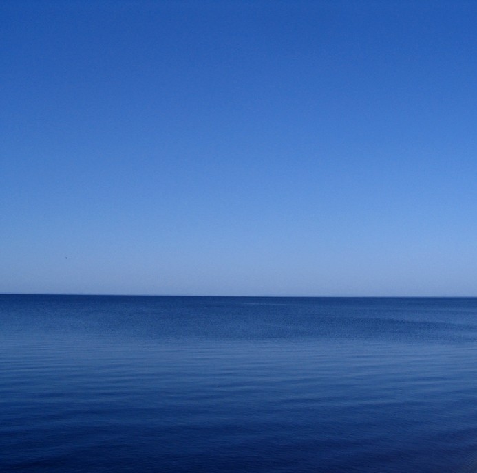
The lake St John region is truely a surprise for those expecting a forbidding wilderness without any
souls since it is populated by approximately 400,000 people which call themselves by the name "bleuets" better known as that
blue coloured berry attracting so much attention in season ! The people themselves are concentrated in the major urban centers
on the eastern fringe of the lake, the rest being scattered about the towns around the lake which thus doesn't leave anyone
isolated. The lake itself is the major playground with beaches scattered here and there, the climate being sufficiently pleasent
and warm in summer to make the place a true delight. Actually if you come down from the hills the change with the climate
can be dramatic sometimes, dramatic enough to make you wonder...
Settlement of the area first started in the mid 19th century accelerating during WW2 when aluminium smelters were constructed
to supply the metal for the allied war effort. Actually because of the hydro-electric potential of the Saguenay river such
heavy industry flourished up until recently when it became apparent that the marketability of the production had attained
its limits, the formal reasons given being the tight international market. Despite the uncertain times the locals have a positive
attitude and consequentially are well mannered contemplating the future with optimism...
Upon arriving at the lake I followed the shoreline towards the eastern fringe encountering pleasent towns which each have
some fascinating delights of historical and architectural significance to uncover. The first major urbain center encountered
was Alma. I stopped to stock up on some food and did some basic siteseeing in the old quarter of town before calling it quits
for the day. The following day I resumed my treck which lead me towards the second major urban center being Jonquiere which
to be honest is truely a fascinating place to visit if you are in search of some delightful moments uncovering what the past
has left in terms of treasures which also are to be found further east in Chicoutimi...
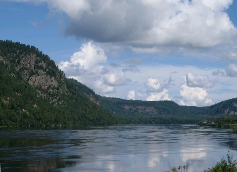
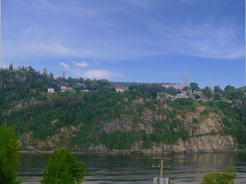
Once in Chicoutimi I rested for a couple of days stopping by the homeless mission for some great food.
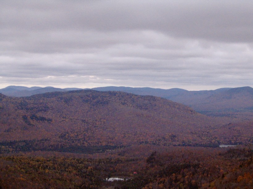
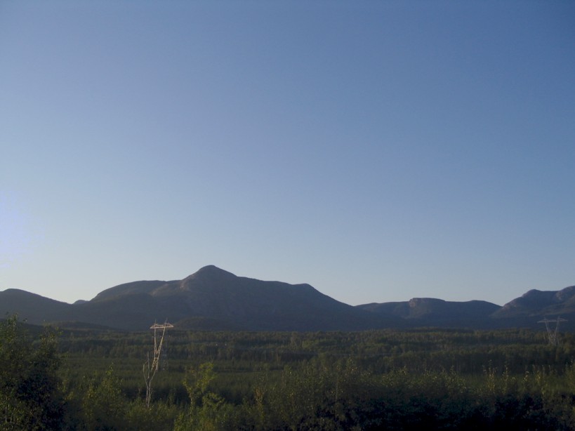
I visited the shoreline of the Saguenay which is now a deep fjord with the salty water concentrating itself below the river
runoff. Since the ocean reaches the immediate vicinity, ocean going vessels can dock in the area. Large oceanliners deposit
their cargo of bauxite immediately east at LaBaie. The smaller craft anchor themselves in the city center .I also took some
distant images of the Valin hills which rise up dramatically from near sea level up towards an altitude in excess of 3000
feet. Unfortunately the photographs don't give proper emphasis of the vertical drop.
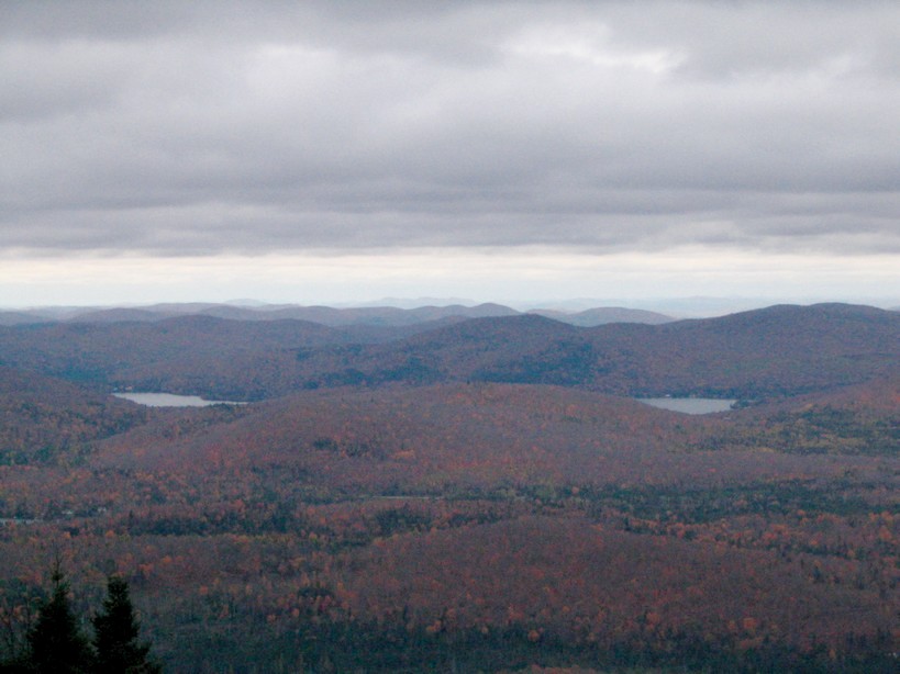
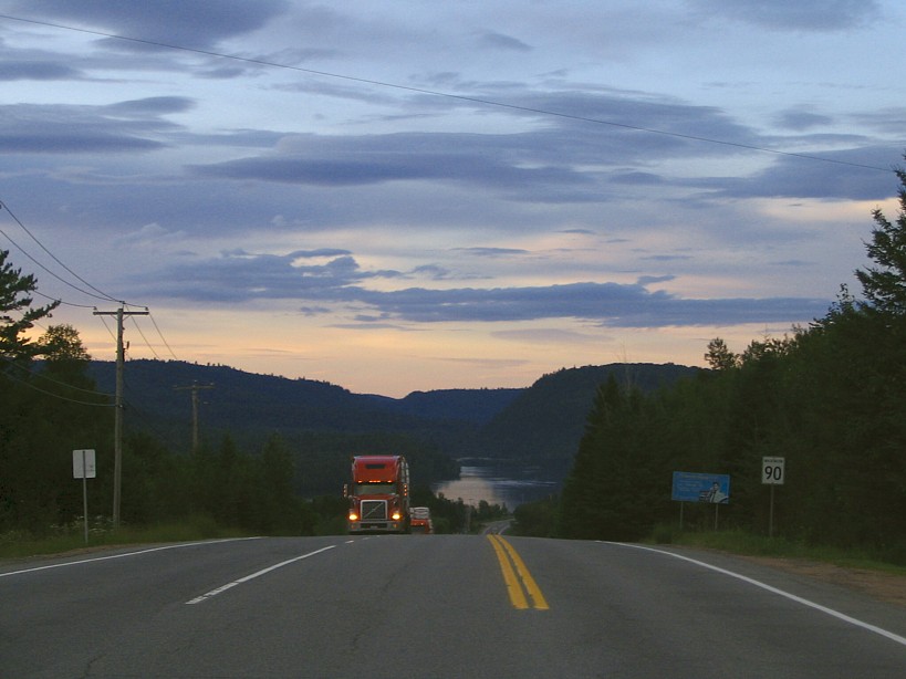
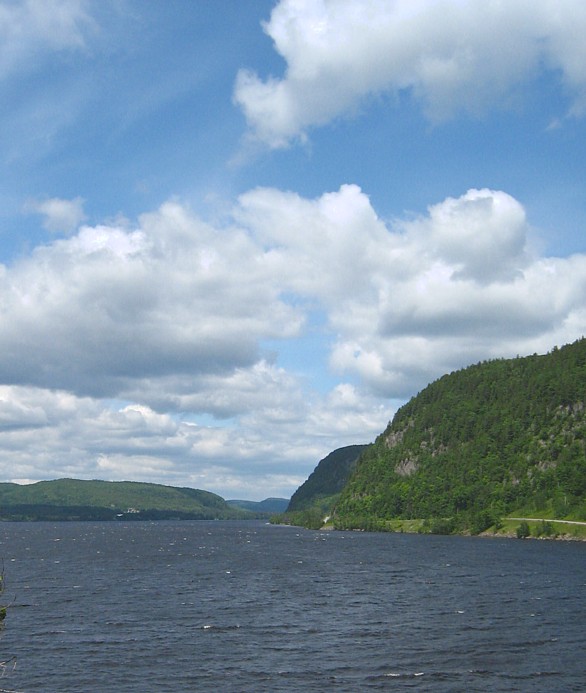
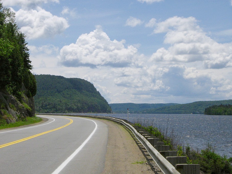
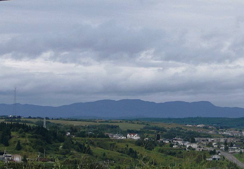
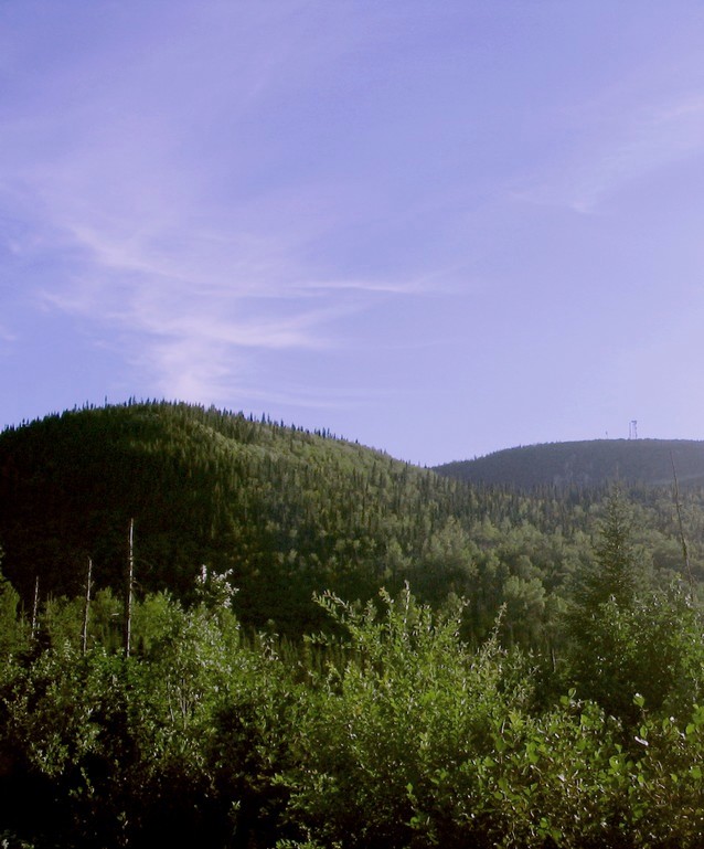
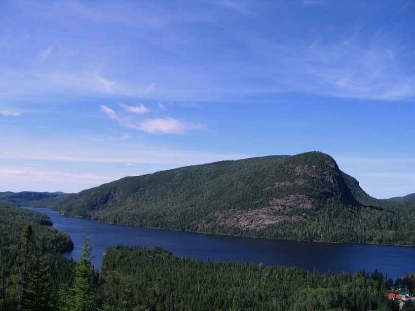
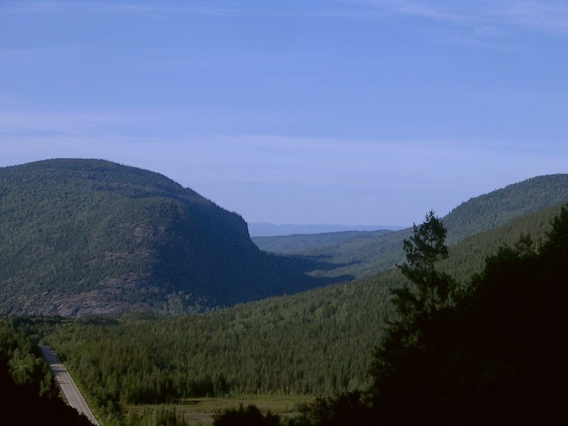
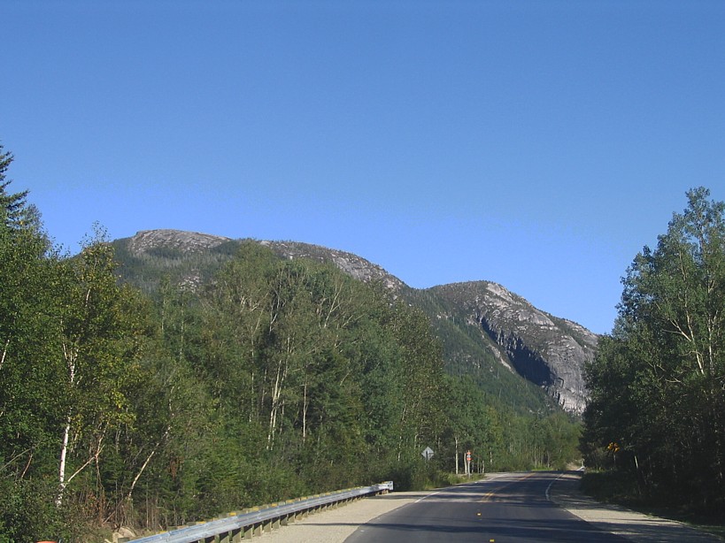
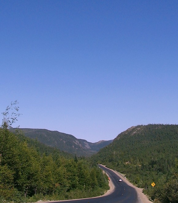
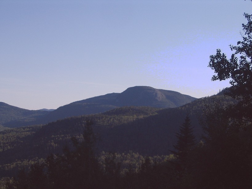
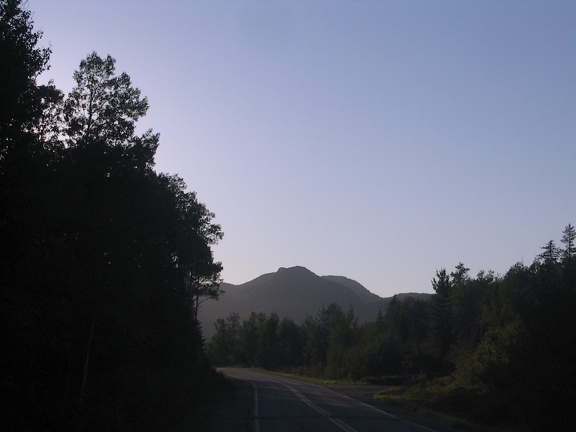
I continued my quest on the 381 to experience the hills there are further south east which culminate
in the Charlevoix region which hosts some astounding scenery such as what there is to uncover along the Malbaie river. I took
the right choice, the scenery being the most astounding I saw to date. Unfortunately I didn't visit the Malbaie river gorge
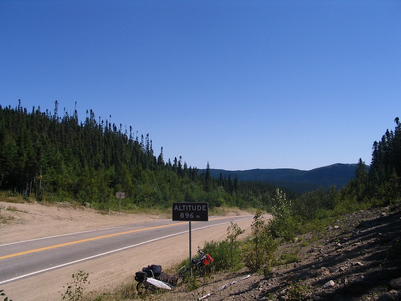
where the river flows approximately 2500 below the valley top. Actually I kept a steady course on the road refusing even to
climb the hill with its fire tower to uncover at lac Michat once at an altitude of approximately 2500 feet. At such a point
I briefly had the impression of being somewhere further west within spruce hills that have been left relatively untouched
by modern development.
Link to the satellite image on the french version of my WEB site
link to the satellite image of the immediate proximity to the 381
|
||||||||||||||||
|
|
||||||||||||||||